Country:China>Jiangsu>Nanjing
8th Floor, Building 3, Xinghe World Industrial Park, 56 Lingzhi Road
Company:Feiyan Aerial Remote Sensing Tech Co., Ltd
Mobile:
Tell:+86 15005176088
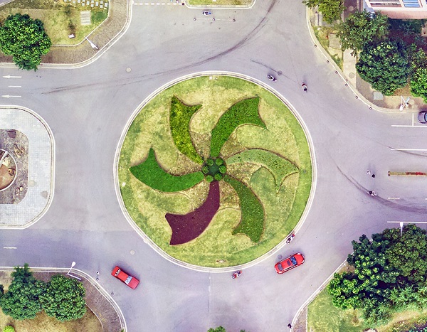
3D Geospatial Data Processing Resolution: 5cm Project area: 220km2 Duration: 11 months Output: 3D model Application: Urban planning From: Wuxi Municipal Bureau of Land and Resources Application of 3D Geospatial Data Processing ◆ Transportation Network ◆ Water, Sewage Pipelines ◆ Natural & artificial drainage ◆ Land use plans ◆ Segregation of conflicting land uses ◆ Urban Design ◆ Landscaping ◆ Urban Morphology ◆ Green & open spaces ◆ Mass & void maps Break The Limits of Land Planning Development plans of cities are still considered as equivalent to 2D land use plans. It restricts the experts in various manner thus much needed details and information about developments are missed out frequently. The development does not take place as per the proposed plans and thus a stark difference is seen once the growth takes place. 3D modeling can help with this very problem since the development, density & land use colour coding can be seen & studied in combination. This will help reduce the differences in proposed & actual development.
Avoid fraud by meeting all sellers in-person to pay for items. BestB2B.COM does not offer any transaction or payment services.